Drone Photography in Portland, Oregon

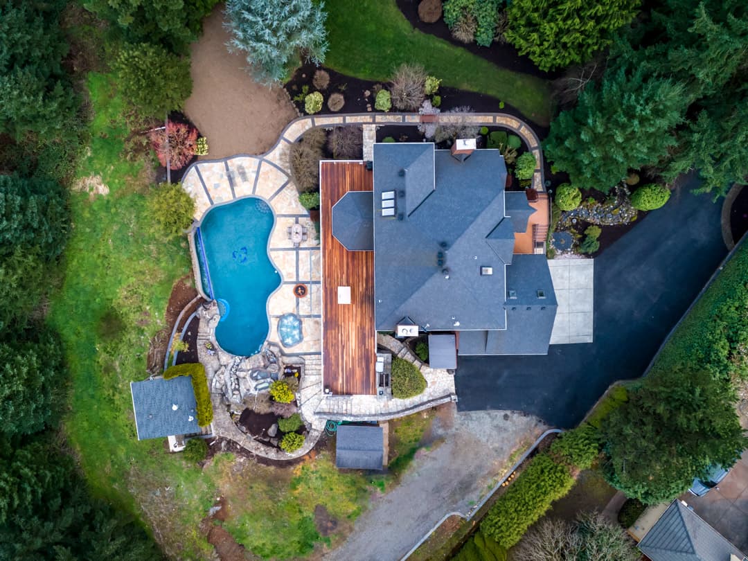
Some properties only make sense from above. Lot size. Location. Views. Proximity to parks, water, or the city. Drone photography shows what nothing else can.
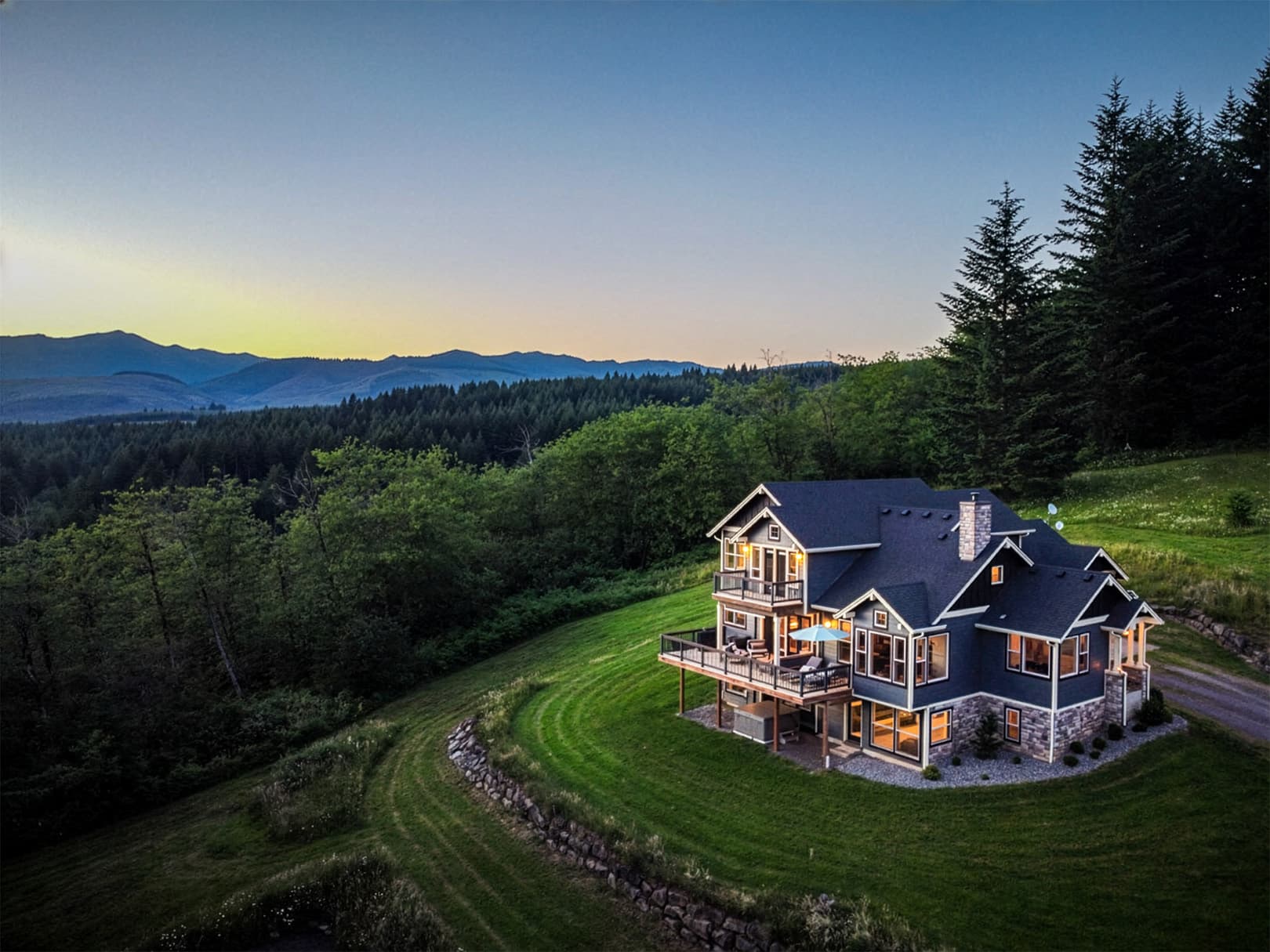
Aerial drone photography — Portland, OR
WHAT DRONE PHOTOGRAPHY DOES

Show What Ground-Level Photos Can't

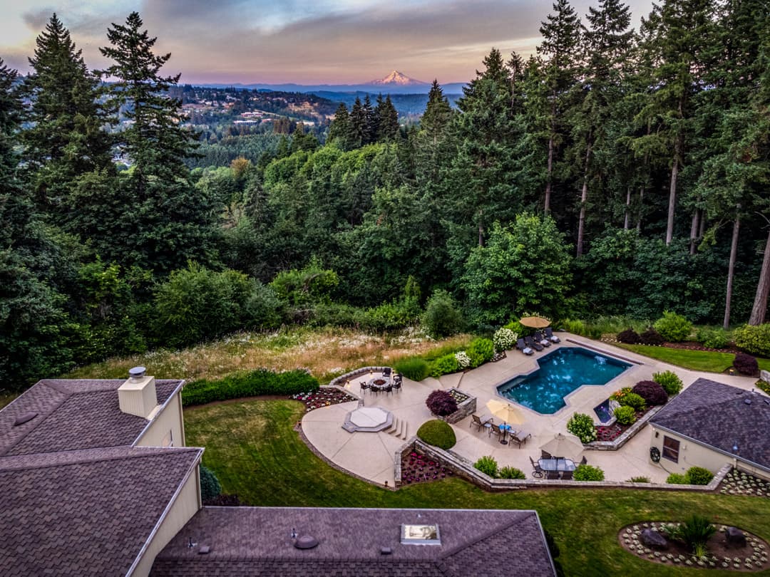
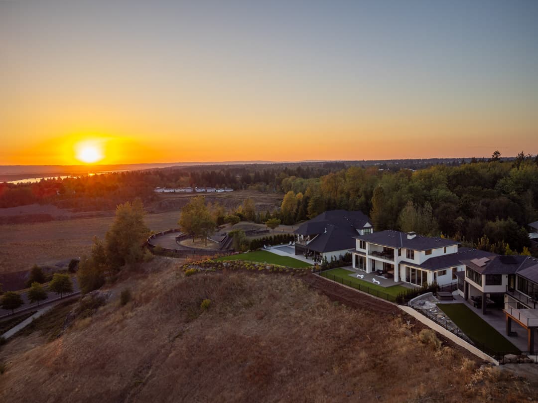
A ground-level photo can't show a half-acre lot, a mountain view, a waterfront setting, or a property's relationship to its neighborhood. Drone photography fills that gap — and makes listings stand out on every platform they'll scroll through.
Aerial exterior photos of residential and commercial properties
Lot size and property boundary context shots
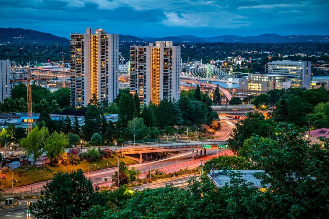
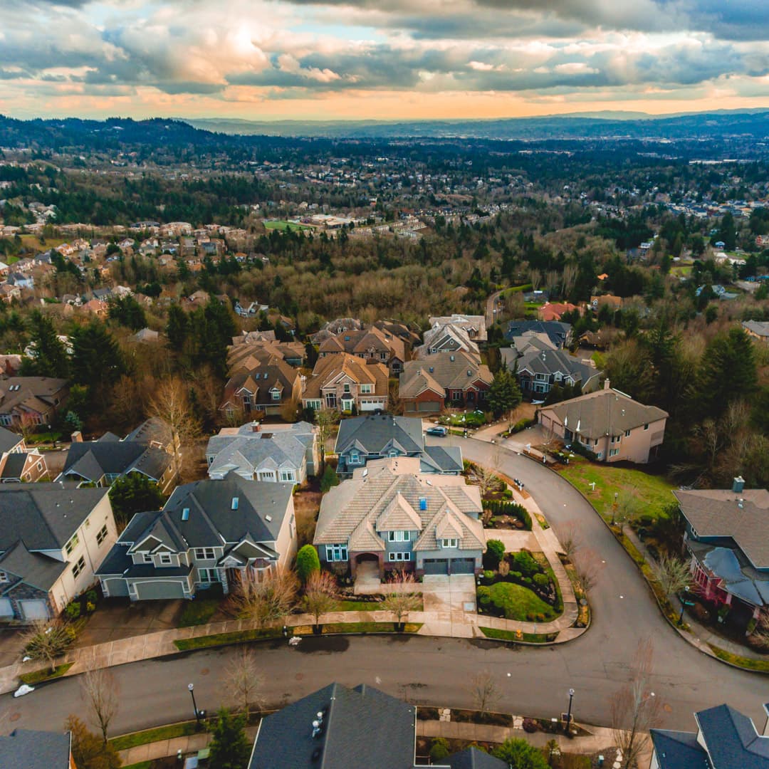
Neighborhood and proximity context — parks, water, city views
FAA LAANC airspace authorization handled automatically
Web and MLS-ready JPGs delivered within 24 hours
Available as add-on to any photography package
FAA PART 107 CERTIFIED

Legal. Insured. Airspace handled.

We carry appropriate insurance and handle all required airspace authorizations before we ever get to your property — including controlled airspace near PDX. You book. We handle the rest.
AERIAL PORTFOLIO

Shot from above the Portland metro
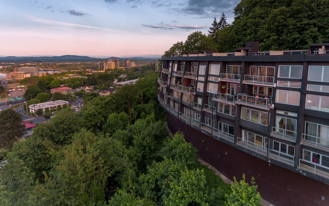
Drone photography — SW Hoffman Ave, Portland, OR
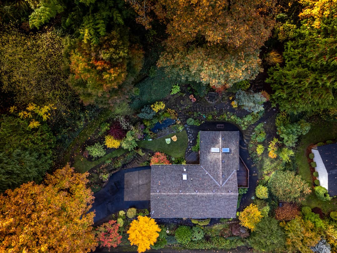
Drone photography — Valley View Rd, West Linn, OR
Drone photography — Milwaukie, OR
Drone photography — Camas, WA
Drone photography — Washougal, WA
Drone photography — Pete's Mountain Rd, West Linn, OR
Drone photography — SW Hoffman Ave, Portland, OR
Drone photography — NW Skyline Heights Rd, Portland, OR

Both Sides of the River. All of the Metro.

We fly throughout the Portland/Vancouver metro area, including Clark County, Washington. Properties near Portland International Airport require advance FAA LAANC authorization — we handle that automatically for every shoot.
FAQ

Common questions

Are you FAA Part 107 certified for commercial drone photography?

Yes. All drone photography at Picture That Property is performed by an FAA Part 107 certified commercial drone pilot.

What permits are required for drone photography in the Portland metro?

Most locations don't require special permits. Properties near Portland International Airport and certain controlled airspace require advance authorization through the FAA's LAANC system. We handle all airspace authorization as part of every shoot.

Can you fly drones near Portland International Airport (PDX)?

Yes. Areas near PDX fall within controlled airspace that requires FAA LAANC authorization before flying. We check and obtain all required authorizations as a standard part of every shoot near the airport. There's no extra work on your end.

How does drone photography improve real estate listings?

Drone photography shows lot size, views, location context, and proximity to landmarks that ground-level photos can't capture. Listings with drone photography consistently get more online views and help buyers understand a property before scheduling a showing.

What weather conditions are needed for drone photography?

We fly in clear or partly cloudy conditions within safe wind speed thresholds. In the Pacific Northwest, we monitor forecasts closely and reschedule if conditions don't cooperate. We'll never fly unsafe.

Can I add drone photography to a standard real estate shoot?

Yes. Drone photography is available as an add-on to any real estate photography package. You can select it when booking.

Ready to show your listing from above?

Add drone to any shoot when booking, or contact us at (503) 594-7693.
Book a Shoot